
Thank you for supporting this site ❤️
Make a donation
Make a donation
Chemmanad topographic map
Click on the map to display elevation.
Thank you for supporting this site ❤️
Make a donation
Make a donation
About this map
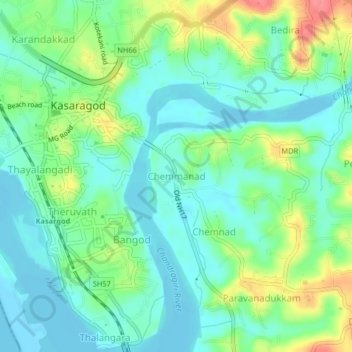
Name: Chemmanad topographic map, elevation, terrain.
Location: Chemmanad, Kasaragod, Kerala, 670317, India (12.47549 74.98217 12.51549 75.02217)
Average elevation: 21 m
Minimum elevation: -3 m
Maximum elevation: 69 m
Thank you for supporting this site ❤️
Make a donation
Make a donation