
Thank you for supporting this site ❤️
Make a donation
Make a donation
Moosen (Vils) topographic map
Click on the map to display elevation.
Thank you for supporting this site ❤️
Make a donation
Make a donation
About this map
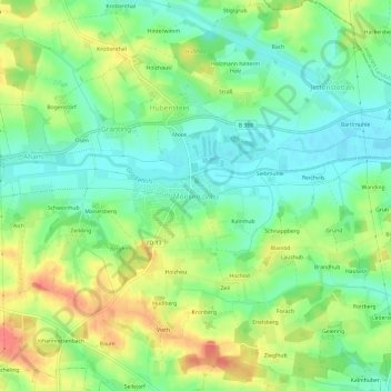
Name: Moosen (Vils) topographic map, elevation, terrain.
Average elevation: 479 m
Minimum elevation: 454 m
Maximum elevation: 516 m
Thank you for supporting this site ❤️
Make a donation
Make a donation
Other topographic maps
Click on a map to view its topography, its elevation and its terrain.
84416
Deutschland > Bayern > Landkreis Erding > Taufkirchen > Aham > Hilpolding
Average elevation: 485 m