
Thank you for supporting this site ❤️
Make a donation
Make a donation
Warumungu topographic map
Click on the map to display elevation.
Thank you for supporting this site ❤️
Make a donation
Make a donation
About this map
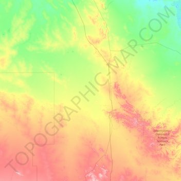
Name: Warumungu topographic map, elevation, terrain.
Location: Warumungu, Barkly Region, Northern Territory, Australia (-21.19477 132.18392 -19.08108 135.56490)
Average elevation: 347 m
Minimum elevation: 203 m
Maximum elevation: 736 m
Thank you for supporting this site ❤️
Make a donation
Make a donation
Other topographic maps
Click on a map to view its topography, its elevation and its terrain.