
Thank you for supporting this site ❤️
Make a donation
Make a donation
Poblado de Iberdrola topographic map
Click on the map to display elevation.
Thank you for supporting this site ❤️
Make a donation
Make a donation
About this map
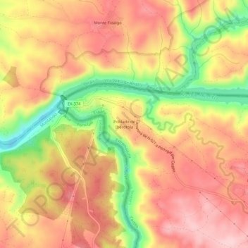
Name: Poblado de Iberdrola topographic map, elevation, terrain.
Location: Poblado de Iberdrola, Cedillo, Cáceres, Extremadura, España (39.64085 -7.54765 39.68085 -7.50765)
Average elevation: 205 m
Minimum elevation: 68 m
Maximum elevation: 293 m
Thank you for supporting this site ❤️
Make a donation
Make a donation
Other topographic maps
Click on a map to view its topography, its elevation and its terrain.