
Thank you for supporting this site ❤️
Make a donation
Make a donation
Big Sandy topographic map
Click on the map to display elevation.
Thank you for supporting this site ❤️
Make a donation
Make a donation
About this map
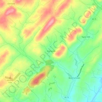
Name: Big Sandy topographic map, elevation, terrain.
Location: Big Sandy, Washington County, Tennessee, United States (36.28872 -82.60709 36.32872 -82.56709)
Average elevation: 488 m
Minimum elevation: 434 m
Maximum elevation: 551 m
Thank you for supporting this site ❤️
Make a donation
Make a donation
Other topographic maps
Click on a map to view its topography, its elevation and its terrain.