
Thank you for supporting this site ❤️
Make a donation
Make a donation
Cativelos topographic map
Click on the map to display elevation.
Thank you for supporting this site ❤️
Make a donation
Make a donation
About this map
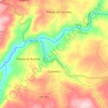
Name: Cativelos topographic map, elevation, terrain.
Location: Cativelos, Gouveia, Guarda, Portugal (40.52115 -7.72154 40.55975 -7.65428)
Average elevation: 374 m
Minimum elevation: 231 m
Maximum elevation: 500 m
Thank you for supporting this site ❤️
Make a donation
Make a donation
Other topographic maps
Click on a map to view its topography, its elevation and its terrain.
Thank you for supporting this site ❤️
Make a donation
Make a donation
Thank you for supporting this site ❤️
Make a donation
Make a donation