
Thank you for supporting this site ❤️
Make a donation
Make a donation
Ferret topographic map
Click on the map to display elevation.
Thank you for supporting this site ❤️
Make a donation
Make a donation
About this map
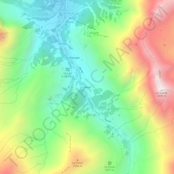
Name: Ferret topographic map, elevation, terrain.
Location: Ferret, Orsières, Entremont, Valais, 2303, Suisse (45.89606 7.08519 45.93606 7.12519)
Average elevation: 2,101 m
Minimum elevation: 1,580 m
Maximum elevation: 2,945 m
Thank you for supporting this site ❤️
Make a donation
Make a donation