
Thank you for supporting this site ❤️
Make a donation
Make a donation
Ficarolo topographic map
Click on the map to display elevation.
Thank you for supporting this site ❤️
Make a donation
Make a donation
About this map
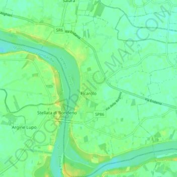
Name: Ficarolo topographic map, elevation, terrain.
Location: Ficarolo, Rovigo, Veneto, 45036, Italy (44.92803 11.41493 44.98261 11.47978)
Average elevation: 10 m
Minimum elevation: 2 m
Maximum elevation: 22 m
Thank you for supporting this site ❤️
Make a donation
Make a donation
Other topographic maps
Click on a map to view its topography, its elevation and its terrain.