
Thank you for supporting this site ❤️
Make a donation
Make a donation
Ban Wang Sam Rong topographic map
Click on the map to display elevation.
Thank you for supporting this site ❤️
Make a donation
Make a donation
About this map
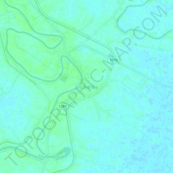
Name: Ban Wang Sam Rong topographic map, elevation, terrain.
Location: Ban Wang Sam Rong, Dong Pa Kham, Phichit Province, Thailand (16.21557 100.28817 16.25557 100.32817)
Average elevation: 34 m
Minimum elevation: 31 m
Maximum elevation: 38 m
Thank you for supporting this site ❤️
Make a donation
Make a donation