
大张庄镇 topographic map
Interactive map
Click on the map to display elevation.
About this map
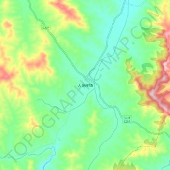
Name: 大张庄镇 topographic map, elevation, terrain.
Location: 大张庄镇, 淄博市, 山东省, 中国 (35.98109 117.97239 36.06109 118.05239)
Average elevation: 440 m
Minimum elevation: 331 m
Maximum elevation: 670 m
Other topographic maps
Click on a map to view its topography, its elevation and its terrain.