
Thank you for supporting this site ❤️
Make a donation
Make a donation
Windach topographic map
Click on the map to display elevation.
Thank you for supporting this site ❤️
Make a donation
Make a donation
About this map
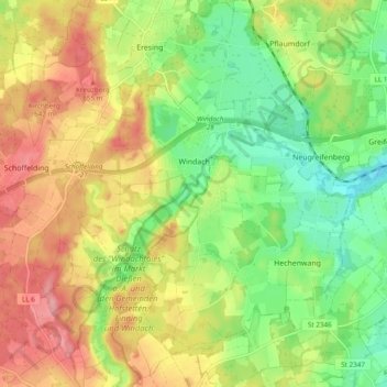
Name: Windach topographic map, elevation, terrain.
Location: Windach, Landkreis Landsberg am Lech, Bavaria, 86949, Germany (48.03514 10.97784 48.08898 11.07362)
Average elevation: 603 m
Minimum elevation: 549 m
Maximum elevation: 665 m
Thank you for supporting this site ❤️
Make a donation
Make a donation
Other topographic maps
Click on a map to view its topography, its elevation and its terrain.