
Thank you for supporting this site ❤️
Make a donation
Make a donation
Bujama topographic map
Click on the map to display elevation.
Thank you for supporting this site ❤️
Make a donation
Make a donation
About this map
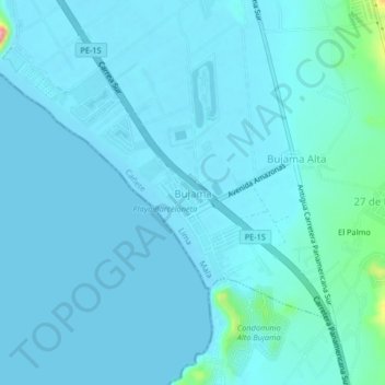
Name: Bujama topographic map, elevation, terrain.
Location: Bujama, Mala, Province of Cañete, Lima, Peru (-12.73176 -76.65181 -12.69176 -76.61181)
Average elevation: 10 m
Minimum elevation: -1 m
Maximum elevation: 122 m
Thank you for supporting this site ❤️
Make a donation
Make a donation