
Thank you for supporting this site ❤️
Make a donation
Make a donation
Laytonville topographic map
Click on the map to display elevation.
Thank you for supporting this site ❤️
Make a donation
Make a donation
Laytonville
Laytonville is a census-designated place (CDP) in Mendocino County, California, United States. It is located 23 miles (37 km) north-northwest of Willits, at an elevation of 1,670 feet (510 m). The population was 1,152 at the 2020 census, down from 1,227 at the 2010 census.
Thank you for supporting this site ❤️
Make a donation
Make a donation
About this map
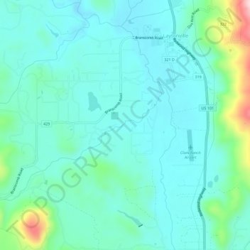
Name: Laytonville topographic map, elevation, terrain.
Average elevation: 536 m
Minimum elevation: 480 m
Maximum elevation: 777 m
Thank you for supporting this site ❤️
Make a donation
Make a donation