
Murree topographic map
Click on the map to display elevation.
Murree
Murree is a mountain resort city in the northernmost region of the Punjab province of Pakistan. Lying in the Galyat region of the Pir Panjal Range under the western Himalayas, it is located on the outskirts of the Islamabad–Rawalpindi metropolitan area. The town was built in the mid 19th-century and it served as the summer capital of the British Punjab, for the British troops to escape the scorching heat in the Punjab Plains during the summer. It has an average altitude of 2,291 metres (7,516 ft).
About this map
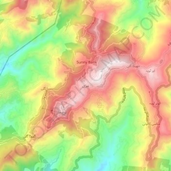
Name: Murree topographic map, elevation, terrain.
Average elevation: 1,718 m
Minimum elevation: 1,162 m
Maximum elevation: 2,256 m
Other topographic maps
Click on a map to view its topography, its elevation and its terrain.