
Thank you for supporting this site ❤️
Make a donation
Make a donation
Ban Napia topographic map
Click on the map to display elevation.
Thank you for supporting this site ❤️
Make a donation
Make a donation
About this map
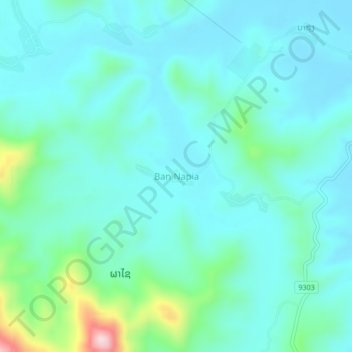
Name: Ban Napia topographic map, elevation, terrain.
Location: Ban Napia, Phaxay District, Xiangkhouang Province, Laos (19.26100 103.07911 19.30100 103.11911)
Average elevation: 1,158 m
Minimum elevation: 1,102 m
Maximum elevation: 1,424 m
Thank you for supporting this site ❤️
Make a donation
Make a donation