
Thank you for supporting this site ❤️
Make a donation
Make a donation
Olosara topographic map
Click on the map to display elevation.
Thank you for supporting this site ❤️
Make a donation
Make a donation
About this map
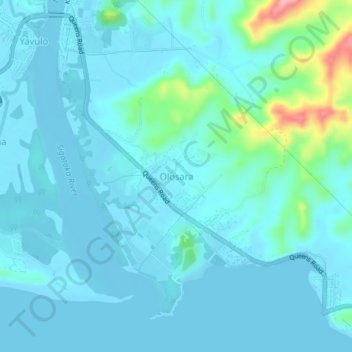
Name: Olosara topographic map, elevation, terrain.
Location: Olosara, Nadroga-Navosa, Western, Fiji (-18.17961 177.50397 -18.13961 177.54397)
Average elevation: 18 m
Minimum elevation: -1 m
Maximum elevation: 137 m
Thank you for supporting this site ❤️
Make a donation
Make a donation
Other topographic maps
Click on a map to view its topography, its elevation and its terrain.