
Thank you for supporting this site ❤️
Make a donation
Make a donation
Pobla topographic map
Click on the map to display elevation.
Thank you for supporting this site ❤️
Make a donation
Make a donation
About this map
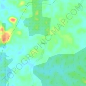
Name: Pobla topographic map, elevation, terrain.
Location: Pobla, Plahn Nyarn, Sinoe County, Liberia (5.39667 -8.97000 5.43667 -8.93000)
Average elevation: 78 m
Minimum elevation: 64 m
Maximum elevation: 115 m
Thank you for supporting this site ❤️
Make a donation
Make a donation