
Make a donation
Machilipatnam topographic map
Click on the map to display elevation.
Make a donation
Machilipatnam
Salabat Jung, the son of Nizam-ul-Mulk Asaf Jah I, who was indebted for his elevation to the throne to the French East India Company, granted them in return for their services the district of Kondavid or Guntur, and soon afterwards the remainder of the Circars. The Circars were captured by the British from the French in 1759 and were returned to the Nizam. However Masulipatnam captured by the British during the Siege of Masulipatam was retained by the East India Company.
Make a donation
About this map
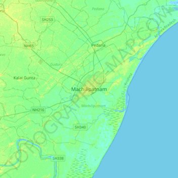
Name: Machilipatnam topographic map, elevation, terrain.
Location: Machilipatnam, Krishna district, Andhra Pradesh, 521001, India (16.02174 80.97482 16.34174 81.29482)
Average elevation: 4 m
Minimum elevation: -4 m
Maximum elevation: 13 m
Make a donation
Other topographic maps
Click on a map to view its topography, its elevation and its terrain.