
Thank you for supporting this site ❤️
Make a donation
Make a donation
Namloung topographic map
Click on the map to display elevation.
Thank you for supporting this site ❤️
Make a donation
Make a donation
About this map
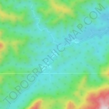
Name: Namloung topographic map, elevation, terrain.
Location: Namloung, Viengphoukha District, Luang Namtha, Laos (20.75135 101.19199 20.79135 101.23199)
Average elevation: 815 m
Minimum elevation: 665 m
Maximum elevation: 1,258 m
Thank you for supporting this site ❤️
Make a donation
Make a donation