
Michaelnbach topographic map
Interactive map
Click on the map to display elevation.
About this map
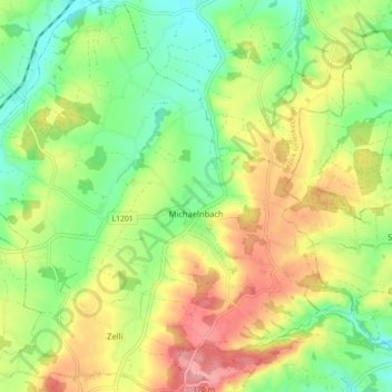
Name: Michaelnbach topographic map, elevation, terrain.
Average elevation: 409 m
Minimum elevation: 359 m
Maximum elevation: 474 m
Michaelnbach liegt auf 394 m Höhe im Hausruckviertel. Die Ausdehnung beträgt von Nord nach Süd 5,7 km, von West nach Ost 6,5 km. Die Gesamtfläche beträgt 23 km². 9,5 % der Fläche sind bewaldet, 82,3 % der Fläche sind landwirtschaftlich genutzt.