
Kirthal topographic map
Click on the map to display elevation.
About this map
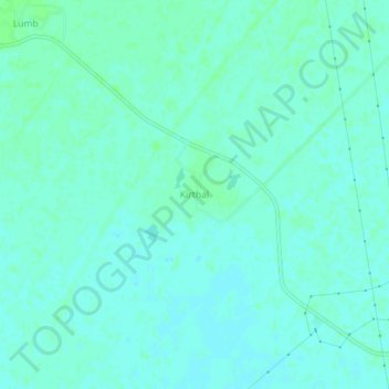
Name: Kirthal topographic map, elevation, terrain.
Location: Kirthal, Baraut, Baghpat, Uttar Pradesh, India (29.22325 77.22188 29.26325 77.26188)
Average elevation: 235 m
Minimum elevation: 232 m
Maximum elevation: 238 m