
Thank you for supporting this site ❤️
Make a donation
Make a donation
Vandflod topographic map
Click on the map to display elevation.
Thank you for supporting this site ❤️
Make a donation
Make a donation
About this map
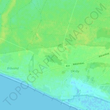
Name: Vandflod topographic map, elevation, terrain.
Location: Vandflod, Oksby, Varde Kommune, Region Syddanmark, 6857, Danmark (55.53984 8.10896 55.57984 8.14896)
Average elevation: 6 m
Minimum elevation: -2 m
Maximum elevation: 12 m
Thank you for supporting this site ❤️
Make a donation
Make a donation