
Thank you for supporting this site ❤️
Make a donation
Make a donation
Perru topographic map
Click on the map to display elevation.
Thank you for supporting this site ❤️
Make a donation
Make a donation
About this map
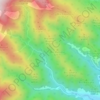
Name: Perru topographic map, elevation, terrain.
Location: Perru, C. Marie, Albisola Superiore, Savona, Liguria, Italy (44.36820 8.43466 44.38820 8.45466)
Average elevation: 368 m
Minimum elevation: 80 m
Maximum elevation: 760 m
Thank you for supporting this site ❤️
Make a donation
Make a donation