
Dingstede topographic map
Interactive map
Click on the map to display elevation.
About this map
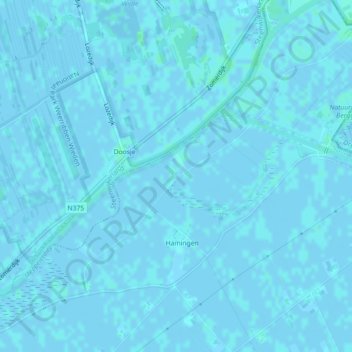
Name: Dingstede topographic map, elevation, terrain.
Location: Dingstede, Staphorst, Overijssel, Nederland, 7951KJ, Nederland (52.66728 6.13335 52.68728 6.15335)
Average elevation: 0 m
Minimum elevation: -2 m
Maximum elevation: 3 m
Other topographic maps
Click on a map to view its topography, its elevation and its terrain.
De Lichtmis
Nederland > Overijssel > Staphorst > De Lichtmis
De Lichtmis, Staphorst, Overijssel, Nederland, 7954 PK, Nederland
Average elevation: 0 m