
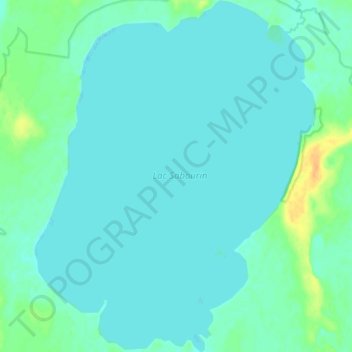
Lac Sabourin topographic map
Interactive map
Click on the map to display elevation.
About this map
Name: Lac Sabourin topographic map, elevation, terrain.
Average elevation: 334 m
Minimum elevation: 328 m
Maximum elevation: 357 m
Other topographic maps
Click on a map to view its topography, its elevation and its terrain.
Lac Blouin
Canada > Québec > La Vallée-de-l'Or > Val-d'Or
Lac Blouin, Val-d'Or, La Vallée-de-l'Or, Abitibi-Témiscamingue, Québec, Canada
Average elevation: 305 m
Lac Villebon
Canada > Québec > La Vallée-de-l'Or > Val-d'Or
Lac Villebon, Val-d'Or, La Vallée-de-l'Or, Abitibi-Témiscamingue, Québec, Canada
Average elevation: 334 m
Louvicourt
Canada > Québec > La Vallée-de-l'Or > Val-d'Or
Louvicourt, Val-d'Or, La Vallée-de-l'Or, Abitibi-Témiscamingue, Québec, Canada
Average elevation: 327 m