
Thank you for supporting this site ❤️
Make a donation
Make a donation
Bruno topographic map
Click on the map to display elevation.
Thank you for supporting this site ❤️
Make a donation
Make a donation
About this map
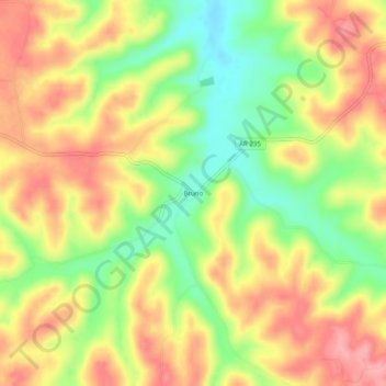
Name: Bruno topographic map, elevation, terrain.
Location: Bruno, Marion County, Arkansas, 72682, United States (36.12424 -92.79822 36.16424 -92.75822)
Average elevation: 319 m
Minimum elevation: 256 m
Maximum elevation: 372 m
Thank you for supporting this site ❤️
Make a donation
Make a donation
Other topographic maps
Click on a map to view its topography, its elevation and its terrain.