
Thank you for supporting this site ❤️
Make a donation
Make a donation
Baula topographic map
Click on the map to display elevation.
Thank you for supporting this site ❤️
Make a donation
Make a donation
About this map
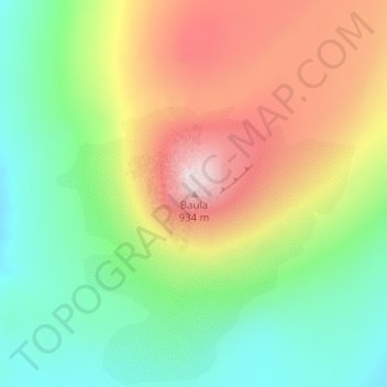
Name: Baula topographic map, elevation, terrain.
Location: Baula, Borgarbyggð, Western Region, Iceland (64.84885 -21.43925 64.84895 -21.43915)
Average elevation: 513 m
Minimum elevation: 254 m
Maximum elevation: 912 m
Thank you for supporting this site ❤️
Make a donation
Make a donation