
Sant Vicent topographic map
Interactive map
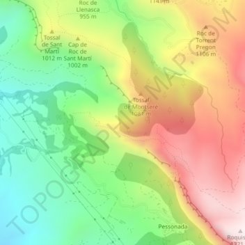
Click on the map to display elevation.
About this map
Name: Sant Vicent topographic map, elevation, terrain.
Average elevation: 933 m
Minimum elevation: 619 m
Maximum elevation: 1,315 m
Other topographic maps
Click on a map to view its topography, its elevation and its terrain.
Barranc de l'Infern
España > Cataluña > Conca de Dalt
Barranc de l'Infern, Conca de Dalt, Pallars Jussá, Lérida, Cataluña, España
Average elevation: 905 m