
Futtsu topographic map
Interactive map
Click on the map to display elevation.
About this map
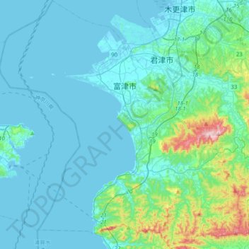
Name: Futtsu topographic map, elevation, terrain.
Location: Futtsu, Prefectura de Chiba, Japón (35.13915 139.70278 35.38906 140.00093)
Average elevation: 45 m
Minimum elevation: -3 m
Maximum elevation: 372 m