
Thank you for supporting this site ❤️
Make a donation
Make a donation
Clarita topographic map
Click on the map to display elevation.
Thank you for supporting this site ❤️
Make a donation
Make a donation
About this map
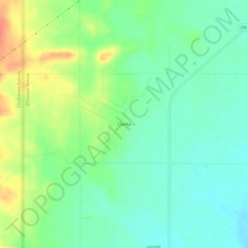
Name: Clarita topographic map, elevation, terrain.
Location: Clarita, Coal County, Oklahoma, 74535, United States (34.46287 -96.45333 34.50287 -96.41333)
Average elevation: 207 m
Minimum elevation: 189 m
Maximum elevation: 238 m
Thank you for supporting this site ❤️
Make a donation
Make a donation