
Thank you for supporting this site ❤️
Make a donation
Make a donation
Donaldson North Dam topographic map
Click on the map to display elevation.
Thank you for supporting this site ❤️
Make a donation
Make a donation
About this map
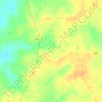
Name: Donaldson North Dam topographic map, elevation, terrain.
Location: Donaldson North Dam, Candler County, Georgia, United States (32.50910 -82.04103 32.50920 -82.04093)
Average elevation: 80 m
Minimum elevation: 61 m
Maximum elevation: 92 m
Thank you for supporting this site ❤️
Make a donation
Make a donation
Other topographic maps
Click on a map to view its topography, its elevation and its terrain.