
Thank you for supporting this site ❤️
Make a donation
Make a donation
Olkaria topographic map
Click on the map to display elevation.
Thank you for supporting this site ❤️
Make a donation
Make a donation
About this map
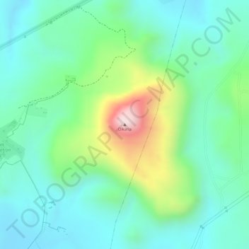
Name: Olkaria topographic map, elevation, terrain.
Location: Olkaria, Maiella ward, Naivasha, Nakuru, Rift Valley, Kenya (-0.88604 36.26950 -0.88594 36.26960)
Average elevation: 2,143 m
Minimum elevation: 2,026 m
Maximum elevation: 2,429 m
Thank you for supporting this site ❤️
Make a donation
Make a donation