
Jemelle topographic map
Interactive map
Click on the map to display elevation.
About this map
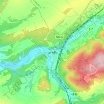
Name: Jemelle topographic map, elevation, terrain.
Location: Jemelle, Rochefort, Dinant, Namur, Wallonie, 5580, Belgique (50.14243 5.24246 50.18243 5.28246)
Average elevation: 246 m
Minimum elevation: 172 m
Maximum elevation: 369 m