
Claines topographic map
Click on the map to display elevation.
About this map
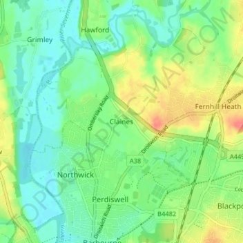
Name: Claines topographic map, elevation, terrain.
Average elevation: 32 m
Minimum elevation: 12 m
Maximum elevation: 67 m
Other topographic maps
Click on a map to view its topography, its elevation and its terrain.
Ronkswood Hill Meadows Local Nature Reserve
United Kingdom > England > Worcestershire > Worcester
Average elevation: 56 m