
Thank you for supporting this site ❤️
Make a donation
Make a donation
Cerro Cabuya topographic map
Click on the map to display elevation.
Thank you for supporting this site ❤️
Make a donation
Make a donation
About this map
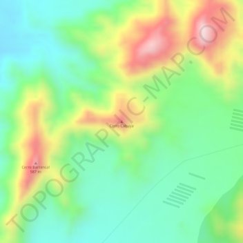
Name: Cerro Cabuya topographic map, elevation, terrain.
Location: Cerro Cabuya, Huaral, Lima, Perú (-11.37433 -77.26286 -11.37423 -77.26276)
Average elevation: 429 m
Minimum elevation: 293 m
Maximum elevation: 637 m
Thank you for supporting this site ❤️
Make a donation
Make a donation
Other topographic maps
Click on a map to view its topography, its elevation and its terrain.