
Make a donation
Marondera topographic map
Click on the map to display elevation.
Make a donation
Marondera
Marondera is situated on the highveld plateau, and has a subtropical highland climate (Köppen Cwb). The city enjoys a sunny climate, with the summer months (October to April) characterised by warm to hot days followed by afternoon thundershowers and cool evenings, and the winter months (May to September) by dry, sunny days followed by cold nights. Temperatures are usually fairly mild due to the city's high elevation, with an average maximum daytime temperature in January of 25.6 °C (78.1 °F), dropping to an average maximum of around 16 °C (61 °F) in June.
Make a donation
About this map
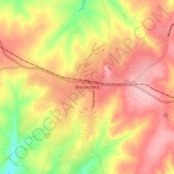
Name: Marondera topographic map, elevation, terrain.
Location: Marondera, Mashonaland East Province, Zimbabwe (-18.23010 31.50554 -18.15010 31.58554)
Average elevation: 1,637 m
Minimum elevation: 1,547 m
Maximum elevation: 1,694 m
Make a donation