
Thank you for supporting this site ❤️
Make a donation
Make a donation
Bevier topographic map
Click on the map to display elevation.
Thank you for supporting this site ❤️
Make a donation
Make a donation
About this map
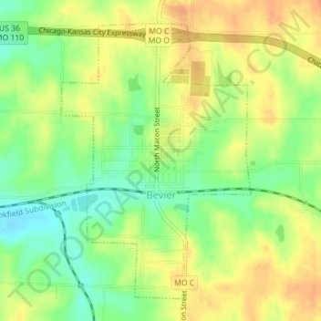
Name: Bevier topographic map, elevation, terrain.
Location: Bevier, Macon County, Missouri, 63532, United States (39.73823 -92.57504 39.76139 -92.55424)
Average elevation: 253 m
Minimum elevation: 231 m
Maximum elevation: 270 m
Thank you for supporting this site ❤️
Make a donation
Make a donation