
Thank you for supporting this site ❤️
Make a donation
Make a donation
Kampung Gebeng topographic map
Click on the map to display elevation.
Thank you for supporting this site ❤️
Make a donation
Make a donation
About this map
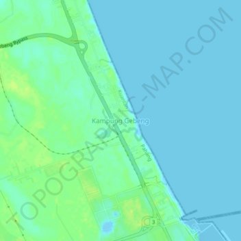
Name: Kampung Gebeng topographic map, elevation, terrain.
Location: Kampung Gebeng, Kuantan, Pahang, 26080, Malaysia (3.99145 103.38732 4.03145 103.42732)
Average elevation: 5 m
Minimum elevation: -7 m
Maximum elevation: 16 m
Thank you for supporting this site ❤️
Make a donation
Make a donation
Other topographic maps
Click on a map to view its topography, its elevation and its terrain.
Thank you for supporting this site ❤️
Make a donation
Make a donation