
Thank you for supporting this site ❤️
Make a donation
Make a donation
Sunnyside topographic map
Click on the map to display elevation.
Thank you for supporting this site ❤️
Make a donation
Make a donation
About this map
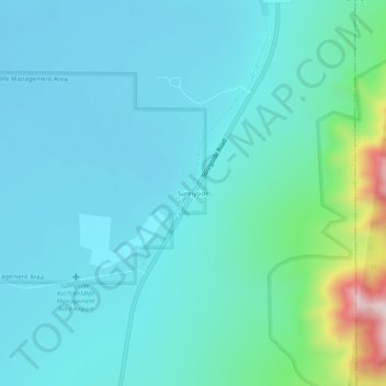
Name: Sunnyside topographic map, elevation, terrain.
Location: Sunnyside, Nye County, Nevada, United States (38.40328 -115.04112 38.44328 -115.00112)
Average elevation: 1,675 m
Minimum elevation: 1,587 m
Maximum elevation: 2,164 m
Thank you for supporting this site ❤️
Make a donation
Make a donation
Other topographic maps
Click on a map to view its topography, its elevation and its terrain.