
Dronryp topographic map
Interactive map
Click on the map to display elevation.
About this map
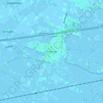
Name: Dronryp topographic map, elevation, terrain.
Location: Dronryp, Friesland, Niederlande, 9035, Niederlande (53.17394 5.62520 53.21394 5.66520)
Average elevation: 0 m
Minimum elevation: -3 m
Maximum elevation: 4 m