
Portmagee topographic map
Interactive map
Click on the map to display elevation.
About this map
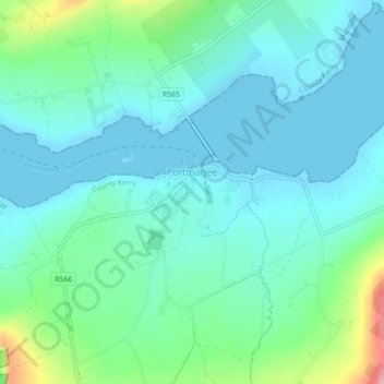
Name: Portmagee topographic map, elevation, terrain.
Location: Portmagee, County Kerry, Munster, Ierland (51.88149 -10.37138 51.88701 -10.36287)
Average elevation: 27 m
Minimum elevation: -1 m
Maximum elevation: 131 m