
Thank you for supporting this site ❤️
Make a donation
Make a donation
Randulfe topographic map
Click on the map to display elevation.
Thank you for supporting this site ❤️
Make a donation
Make a donation
About this map
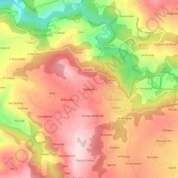
Name: Randulfe topographic map, elevation, terrain.
Location: Randulfe, Paradela, Sarria, Lugo, Galicia, 27611, España (42.74684 -7.59558 42.78684 -7.55558)
Average elevation: 594 m
Minimum elevation: 369 m
Maximum elevation: 737 m
Thank you for supporting this site ❤️
Make a donation
Make a donation