
Thank you for supporting this site ❤️
Make a donation
Make a donation
Fisher topographic map
Click on the map to display elevation.
Thank you for supporting this site ❤️
Make a donation
Make a donation
About this map
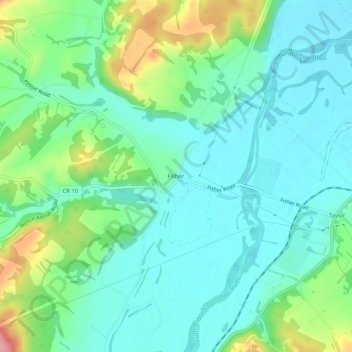
Name: Fisher topographic map, elevation, terrain.
Location: Fisher, Hardy County, West Virginia, 26818, United States (39.03150 -79.02336 39.07150 -78.98336)
Average elevation: 272 m
Minimum elevation: 239 m
Maximum elevation: 363 m
Thank you for supporting this site ❤️
Make a donation
Make a donation
Other topographic maps
Click on a map to view its topography, its elevation and its terrain.