
Lac Michel topographic map
Interactive map
Click on the map to display elevation.
About this map
Name: Lac Michel topographic map, elevation, terrain.
Average elevation: 287 m
Minimum elevation: 250 m
Maximum elevation: 312 m
Other topographic maps
Click on a map to view its topography, its elevation and its terrain.
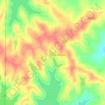
Terre Du Lac
États-Unis d'Amérique > Missouri > St. Francois County > Terre Du Lac
Terre Du Lac, St. Francois County, Missouri, États-Unis d'Amérique
Average elevation: 280 m