
Thank you for supporting this site ❤️
Make a donation
Make a donation
Seka topographic map
Click on the map to display elevation.
Thank you for supporting this site ❤️
Make a donation
Make a donation
About this map
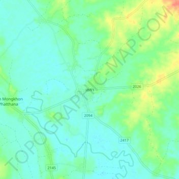
Name: Seka topographic map, elevation, terrain.
Location: Seka, Sang, Bueng Kan Province, Thailand (17.88879 103.91498 17.96879 103.99498)
Average elevation: 156 m
Minimum elevation: 143 m
Maximum elevation: 192 m
Thank you for supporting this site ❤️
Make a donation
Make a donation