
Thank you for supporting this site ❤️
Make a donation
Make a donation
Unterstalden topographic map
Click on the map to display elevation.
Thank you for supporting this site ❤️
Make a donation
Make a donation
About this map
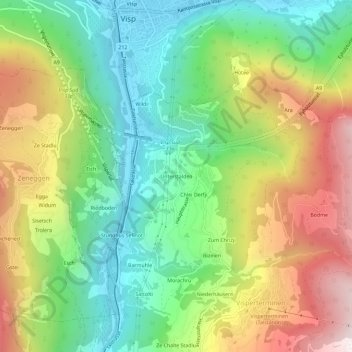
Name: Unterstalden topographic map, elevation, terrain.
Location: Unterstalden, Visperterminen, Viège, Valais, 3932, Suisse (46.25336 7.86913 46.29336 7.90913)
Average elevation: 1,114 m
Minimum elevation: 646 m
Maximum elevation: 1,827 m
Thank you for supporting this site ❤️
Make a donation
Make a donation