
Thank you for supporting this site ❤️
Make a donation
Make a donation
Doi Lang topographic map
Click on the map to display elevation.
Thank you for supporting this site ❤️
Make a donation
Make a donation
About this map
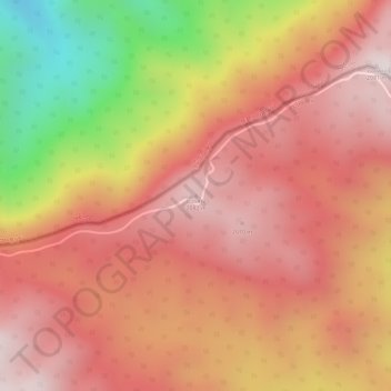
Name: Doi Lang topographic map, elevation, terrain.
Location: Doi Lang, Chiang Mai Province, Thailand (20.12404 99.14623 20.12414 99.14633)
Average elevation: 1,860 m
Minimum elevation: 1,395 m
Maximum elevation: 2,086 m
Thank you for supporting this site ❤️
Make a donation
Make a donation
Other topographic maps
Click on a map to view its topography, its elevation and its terrain.