
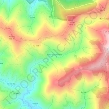
Porto Castanheiro topographic map
Interactive map
Click on the map to display elevation.
About this map
Name: Porto Castanheiro topographic map, elevation, terrain.
Average elevation: 776 m
Minimum elevation: 459 m
Maximum elevation: 1,112 m
Other topographic maps
Click on a map to view its topography, its elevation and its terrain.
Cepos
Portugal > Coimbra > Cepos e Teixeira
Cepos, Cepos e Teixeira, Arganil, Coimbra, 3300-222, Portugal
Average elevation: 576 m