
Thank you for supporting this site ❤️
Make a donation
Make a donation
Al Magad topographic map
Click on the map to display elevation.
Thank you for supporting this site ❤️
Make a donation
Make a donation
About this map
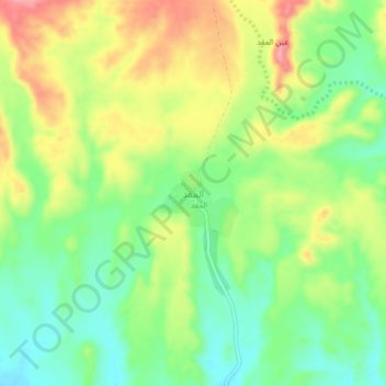
Name: Al Magad topographic map, elevation, terrain.
Location: Al Magad, Shihr District, Hadramaut Governorate, Yemen (14.83638 49.78399 14.87638 49.82399)
Average elevation: 87 m
Minimum elevation: 41 m
Maximum elevation: 147 m
Thank you for supporting this site ❤️
Make a donation
Make a donation
Other topographic maps
Click on a map to view its topography, its elevation and its terrain.