
Thank you for supporting this site ❤️
Make a donation
Make a donation
Karungibate Lower topographic map
Click on the map to display elevation.
Thank you for supporting this site ❤️
Make a donation
Make a donation
About this map
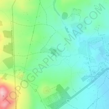
Name: Karungibate Lower topographic map, elevation, terrain.
Location: Karungibate Lower, Kinyamwenge, Kasese, Western Region, Uganda (0.28180 30.15043 0.30180 30.17043)
Average elevation: 1,048 m
Minimum elevation: 975 m
Maximum elevation: 1,212 m
Thank you for supporting this site ❤️
Make a donation
Make a donation